Protecting People and Wildlife
Fargo Moorhead Diversion: Planners Fail to Meet State Permitting Requirements
April 28, 2016Restoring Floodplains…With Science!
June 29, 2016By Melissa Samet, Senior Water Resources Counsel, National Wildlife Federation
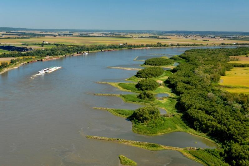
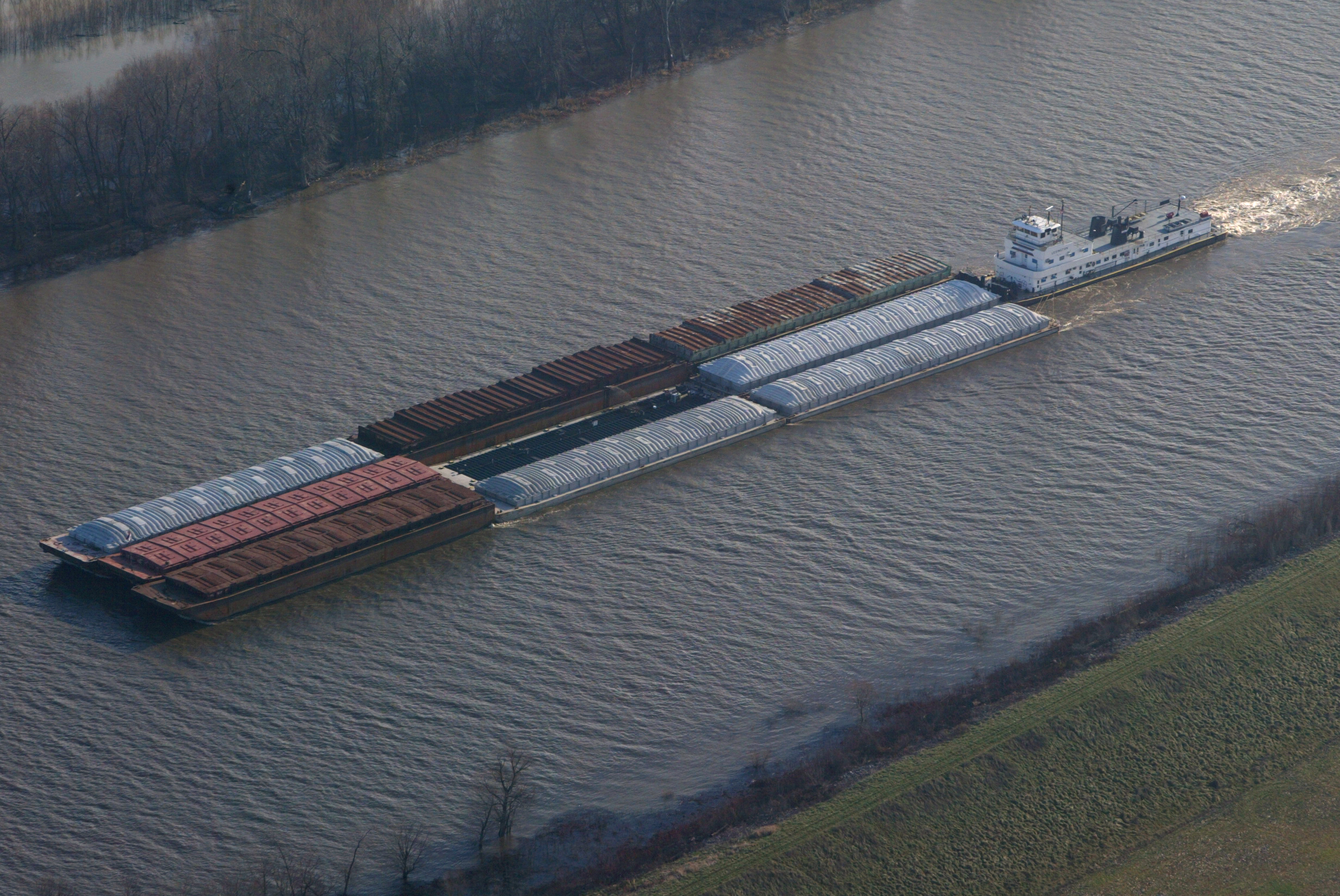
While operations and maintenance (or O&M) might not sound like something to be concerned about, it absolutely is. O&M carried out by the Army Corps of Engineers to maintain navigation on the Mississippi River causes enormous environmental harm and increases flood risks for river communities.
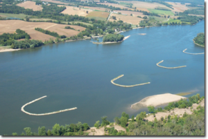
O&M on the 1,200 mile Upper Mississippi and Illinois Waterway navigation system involves repeated dredging throughout the system’s 1,200 mile navigation channel, artificial manipulation of water levels behind the system’s 37 locks and dams, armoring the rivers’ banks with rock and concrete, and constructing thousands of river training structures designed to force the river into a deeper and narrower channel (wing dikes, bendway weirs, chevrons). The Army Corps spends at least $120 million of your tax dollars each and every year to carry out this work.[1]
These extensive O&M activities have fundamentally changed the way the Mississippi and Illinois rivers function, leading to a dramatic decline in their ecological health and the species that rely on them. O&M has destroyed critical wetland, backwater, and side channel habitats; altered natural and healthy water depths; changed flow patterns; greatly increased sedimentation, and led to the proliferation of nonnative species. These changes have in turn caused significant harm to native fish and wildlife.[2]
In addition to destroying side channel and other diverse river habitats, river training structures—which the Corps constructs for the sole purpose of reducing dredging costs—also put the public at risk. Extensive peer-reviewed science shows that construction of river training structures have increased flood heights by up to 15 feet in some locations and 8 feet and more in broad stretches of the Middle Mississippi River where river training structures are prevalent.[3] Independent scientists have determined that the more than 40,000 feet of “wing dikes” and “bendway weirs” constructed by the Corps in the Mississippi during the 3 years prior to the great flood of 1993 contributed to record crests in 1993, 1995, 2008, and again in 2011. A 2016 Journal of Earth Science study concludes that the continental-scale Middle Mississippi River has been so constricted by river training structures and levees that it is now exhibiting “the flashy response” to flooding “typical of a much smaller river.”[4]
Despite this science, the Corps continues to add even more river training structure to the more than 1,375 already in the middle Mississippi River. Many of these new structures will be built in areas that pose particular flood risks. For example, the Dogtooth Bend array of river training structures would be built just downstream of a segment of the Len Small Levee that failed during the 2011 floods (on the Illinois side of the river). The Grand Tower array of river training structures would be built adjacent to the Big Five Levee System which has been designated as deficient by Corps inspectors (on the Illinois side of the river near Wolf Lake).
The National Wildlife Federation and many of our partners, independent scientists, and the public have repeatedly called on the Corps to take three important steps to ensure that the agency’s efforts to maintain navigation to not put people and wildlife at risk.
First, the Corps should initiate a National Academy of Sciences study on the effect of river training structures on flood heights to inform the Corps’ decisions on O&M.
Second, the Corps should prepare an environmental impact statement that looks comprehensively at the full suite of operations and maintenance activities for the entire Upper Mississippi River – Illinois Waterway navigation system that fully accounts for the findings of the National Academy of Sciences study and independent scientist, and addresses the concerns of the public.
Third, the Corps should stop building new river training structures in the Mississippi River unless and until the National Academy of Sciences and a comprehensive and legally adequate environmental impact statement establish that such construction will not increase flood risks for communities.
It is time for the Corps to heed these calls and prioritize public safety and environmental protection over the agency’s desire to reduce dredging costs.
References
[1] USACE Brochure, Upper Mississippi River – Illinois Waterway System Locks and Dams (September 2009) available at http://www.mvr.usace.army.mil/brochures/documents/UMRSLocksandDams.pdf; Congressional Research Service, Inland Waterways: Recent Proposals and Issues for Congress (July 14, 2011) at 15.
[2] Johnson, B. L., and K. H. Hagerty, editors. 2008. U.S. Geological Survey, Status and Trends of Selected Resources of the Upper Mississippi River System, December 2008, Technical Report LTRMP 2008-T002. 102 pp + Appendixes A–B (Upper Midwest Environmental Sciences Center, La Crosse, Wisconsin) (2008 Status and Trends Report); U.S. Geological Survey, Ecological Status and Trends of the Upper Mississippi River System 1998: A Report of the Long Term Resource Monitoring Program (April 1999) (1999 Status and Trends Report); Rock Island District, U.S. Army Corps of Engineers, Report to Congress, An Evaluation of the Upper Mississippi River System Environmental Management Program (December 1997) at 2-3.
[3] Pinter, N., A.A. Jemberie, J.W.F. Remo, R.A. Heine, and B.A. Ickes, 2010. Empirical modeling of hydrologic response to river engineering, Mississippi and Lower Missouri Rivers. River Research and Applications, 26: 546-571; Remo, J.W.F., N. Pinter, and R.A. Heine, 2009. The use of retro- and scenario- modeling to assess effects of 100+ years river engineering and land cover change on Middle and Lower Mississippi River flood stages. Journal of Hydrology, 376: 403-416. There is also a global consensus that river training structures can and do increase flood heights as evidenced by actions being carried out by the government of the Netherlands to modify hundreds of river training structures “as part of a nationwide effort to reduce flood risk in [the Rhine River] floodplain” at significant cost. Government Accountability Office, GAO-12-41, Mississippi River, Actions Are Needed to Help Resolve Environmental and Flooding Concerns about the Use of River Training Structures (December 2011) (GAO Study on River Training Structures) (concluding that the Corps is out of compliance with both the National Environmental Policy Act and the Clean Water Act).
[4] Robert E. Criss, Mingming Luo, River Management and Flooding: The Lesson of December 2015–January 2016, Central USA, Journal of Earth Science, Vol. 27, No. 1, p. 117–122, February 2016 ISSN 1674-487X (DOI: 10.1007/s12583-016-0639-y).

